Ha Giang – The Globle Rock Plateau
Ha Giang – Dong Van – The Imposing Global Rock Plateau Ha Giang + Dong Van
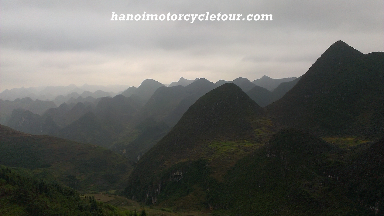
Ha Giang is the top province in the north of Vietnam, It is surrounded by Cao Bang on the east, Tuyen Quang on the south, Lao Cai, and Yen Bai on the west. It shares a border with China in the north (274km boundary). Locating at the highest latitude in Vietnam, Doing motorbike tours to Ha Giang is always a great choice because it offers plenty wonderful mountain routes which suitable for riding motorbike also the view of mountain and the local people is amazing . The province is about 320 km away from Hanoi.
Ha Giang’s complicated topography is divided into 3 areas. The southern area has rocky mountain, separated rivers. The west area has sloping mountain side, high passes, valleys, and narrow springs. The low land area includes hills, valley of Lo River, and Ha Giang City.
Mountains in Ha Giang are quite high, in which the highest Tay Con Linh point with 2.419m in height. There are good woods, over 1000 kinds of valuable drug trees, animals (tigers, peacocks, phoenix…) in primitive forests.
Coming to Ha Giang with Vietnam Motorbike Tour Expert, tourists are attracted by imposing Dong Van Rock Plateau, Me-Pi-Leng pass, Love Market of Khau Vai and colorful culture of the local hill tribes. Tourists can buy embroidery such as handkerchief, haversack, and dress with colorful, fine pattern. They also take part in enjoyable market-day of local ethnics. The people and natural scenes here are unlike anywhere in Vietnam.
The climate is divided in two distinct seasons, rainy and dry, although it tends to vary depending on altitude. The annual average temperature varies between 24 and 28oC. In winter, the temperature is sometimes down to -5oC. The best time to do motorbike tour Ha Giang is from late August to next April.